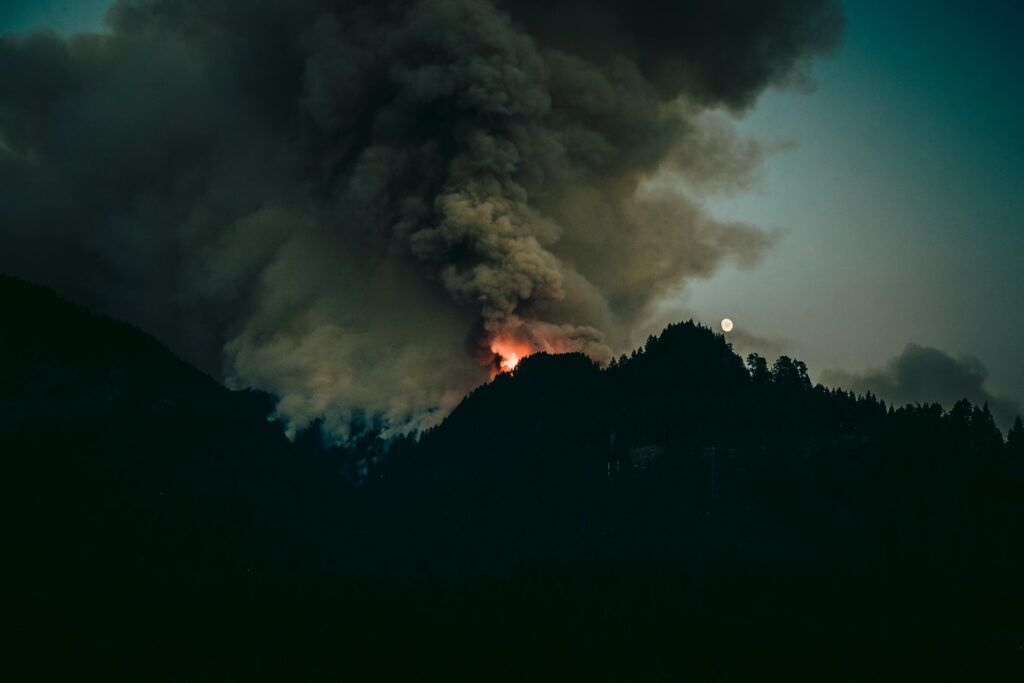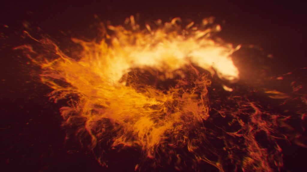
Drone Records Epic Volcano Eruption!
Although most volcanoes are dormant for a long time, often for centuries, a drone captured a stunning video of volcano eruption on Iceland’s Mount Fagradalsfj all for the first time in about 800 years. Large numbers of people traveled the 20 miles from Reykjavik, the capital, to witness the spectacular, sizzling view. It is not […]