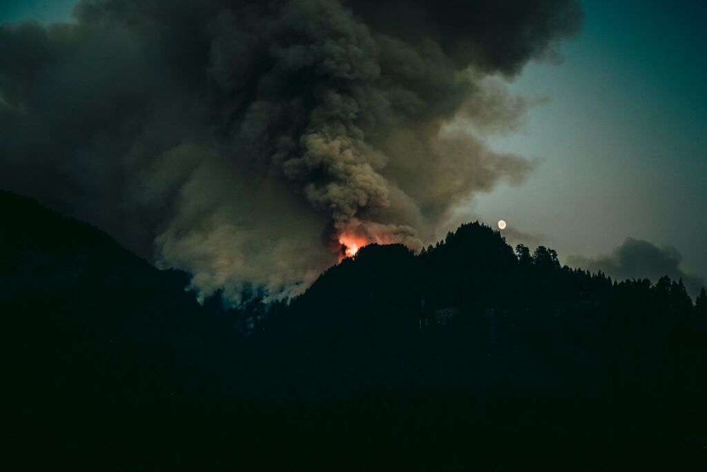
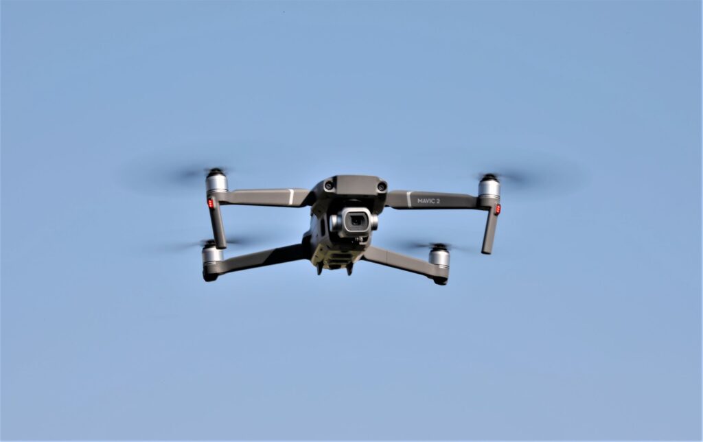
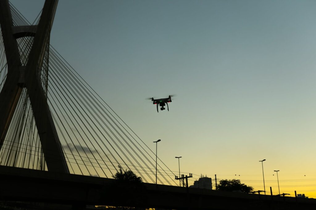
Drones are increasingly becoming a very useful and effective tool in wildfire meteorology, which is the attempt to better understand whether that leads to fire risk.
Drones are gradually becoming an integral part of the fight against wildfires in the United States, Canada, Australia, Europe, and Thailand. The United States is experiencing longer wildfire seasons. The U.S. Forest Service points out that the changing climate has led to a longer wildfire season and increased expense in fighting fires. In fact, in 2018, the President of the U.S. passed an executive order on wildfire management that called for an increased use of drones.
As wildfires continue to rage across vast areas of the western United States, researchers are developing the use of unmanned aerial vehicles (UAVs) to understand the weather systems that lead to the fires’ ignition and spread and to help develop tools to battle the blazes.
At the Fire Weather Research Laboratory at San Jose State University in California, a team of researchers recently completed a study that showed that a drone equipped with a sonic anemometer is a very effective tool for viewing and examining vertical profiles of atmospheric variables. Without the use of drones, such a process would have to utilize costly weather balloons or the construction of a meteorological tower.
According to Craig Clements, professor at SJSU’s Fire Research Laboratory, and the one who led the project, made the statement:
“It turns out the wildfire environment is poorly sampled and there have not been a lot of measurements around wildfires. We need that data to better understand the fire environment for modeling so we can better predict changes, especially as the climate changes and fires get more intense.”*
Clements began as early as 2008 to experiment with using UAVs to measure meteorological conditions near wildfires. At that time he flew a small fixed-wing, gas-powered remote-controlled airplane through the smoke plumes of wildfires.
Since then UAVs have become much more sophisticated, which has made it possible to significantly expand their potential for use in fire research.
The San Jose research team worked in collaboration with the U.S. Forest Service and the Desert Research Institute (DRI) by using a DJI Matrice 200 (M200) equipped with a TriSonica™ Mini Wind and Weather sensor, “to sample the vertical wind profiles of three-dimensional winds generated by wildfires, according to a research paper.”*
In order to avoid having the prop wash from the drone’s rotors and thereby interfere with their measuring vertical wind velocity, the researchers had to position the sensor off to the side of the drone. They were able to do this by installing a carbon-fiber boom, “which placed the sensor at a distance of about two times the propeller width away from the body of the UAV, to eliminate some of the influences of the prop wash.”*
Matthew Brewer, a former graduate research assistant in the Fire Weather Research Laboratory, explained that “the team used the anemometer with its data monitor powered through the USB port on the drone itself.”*
In terms of maneuverability, they are far superior to a helicopter or other forms of manned aircraft. They help firefighters determine where a fire will spread through tracking and mapping fire patterns, which empower scientists and personnel to make informed decisions. Not only can they fly when and where manned aircraft are unable to fly, but they also lower the cost significantly.
Drones have also been studied as tools for starting planned, controlled fires to clear out difficult underbrush. This approach is called the “Dragon Egg System,” which uses what is similar to ping-pong balls but are injected with glycol and are dropped to start a controlled fire.
Future
As wildfires continue to rage across vast areas of the western United States, the use of drones is essential. Their ability to locate a hot spot, firebreak breaches, and then to deliver water to the affected site can make the difference between life and death.


