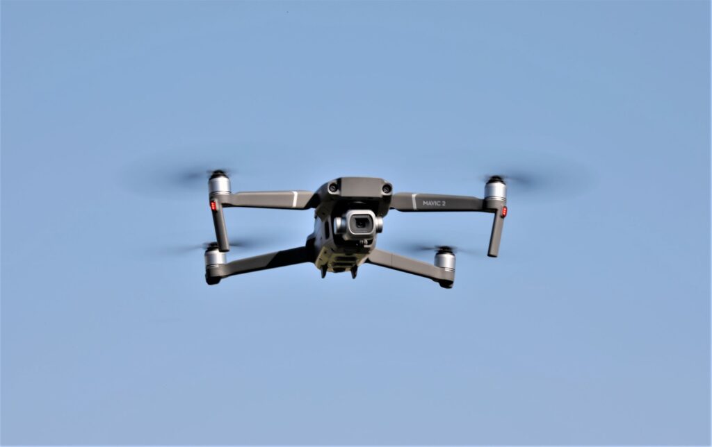
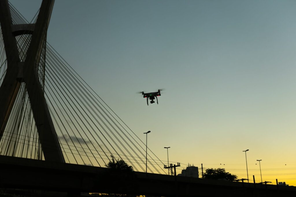
Thales is supporting Swiss-based weather data specialist, Meteomatics, in the development of reliable and accurate weather data. As a weather service provider, Meteomatics, is planning to use drones to capture meteorological data and thereby hopes to minimize risks, increase safety, and reduce operating costs. The plan is to use small rotary wing unmanned aerial vehicles (UAVs) to replace conventional weather forecast tools, such as balloon soundings and satellite-borne, airborne, or ground-based remote sensing techniques.
Traditional weather forecasting tools and techniques have shown to provide limited mobility, only data on a specific area since it is not portable, and therefore, such tools and techniques have failed to collect data in difficult conditions, and also have been quite expensive. Meteomatics believe that small UAVs are not limited concerning such issues, but can improve the information gathered “within the planetary boundary layer (PBL) by directly and accurately measuring prognostic variables. By aggregating existing national weather data with its own drone data measurements, Meteomatics can provide very precise measurements of the mid and low atmosphere.”*
Meteomatics has worked with Thales to produce two drones, the Meteodrone MM-641 and MM-670. Although both have different characteristics and strengths for operational applications, they ultimately work together to create a very accurate weather forecast for a given area.
The company has created an observing system that will be mounted on the drones that is capable of measuring detailed readings of the temperature, humidity, air pressure, and wind. This makes it possible for the drones to predict, even determine, the potential for severe weather formation and thereby enhance the forecasting ability for atmospheric conditions such as hail, icing, and fog formation, etc.
Additionally, Meteomatics developed the Meteobase, a water- and snow-proof ground station that allows the on-site support of Meteodrones by serving as a communication element between the control center and the UAV.
Because Thales understands the importance of collecting reliable weather forecasts and accurate meteorological information due to fog, freezing rain, thunderstorms, heavy wind and significant drop in temperature, it can seriously affect safety and productivity. In addition to how uncertainty of weather conditions affect drone operations, such conditions also affect many other industries and sectors, ranging from aviation to renewable energy and transportation. “Thales believes that Meteomatics’ solution can help to minimize risks, increase safety, and reduce operating costs in air traffic management, radar reconnaissance, and optimization of control and signaling for railways.”*
The company’s success in demonstrating the positive effect of mobile Meteo Drones on the quality of high-resolution local fog and storm forecasts, Meteomatics is planning on having drones fly to 8,000 m (~26,200 ft) above sea level to mitigate against stronger winds, as well as to display and advertise such drones to an international audience.
According to Meteomatics:
“The key to that is Meteomatics’ high-resolution forecast enhanced with measurements of its own weather drone, the “Meteodrone.” Through a combination of Meteorological and Data Engineering expertise, Meteomatics has developed a unique model for hyperlocal forecasting. Enriching high-quality national weather data with precise measurements of the mid and lower atmosphere, gathered by its Meteo Drones.”*
Future
Because traditional weather forecasting tools and techniques are not portable, they have shown to provide limited mobility. This is why Meteomatics, is making such a huge contribution in its plan to use drones to capture accurate, detailed meteorological data and thereby minimize risks, increase safety, and reduce operating costs.


