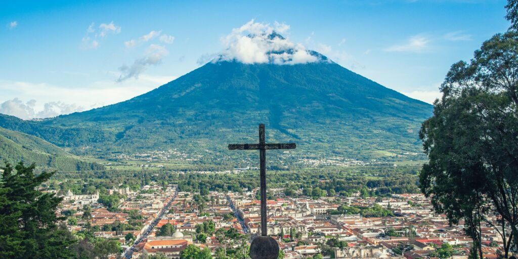
The data researchers gathered through drones over four survey flights at a volcano in Santa Maria, Guatemala, made it possible to create 3D models of the volcano. Edgar Zorn, and his fellow researchers at German Research Centre for Geosciences (GFZ), captured both visual and thermal data. This included a 3D topography and temperature model of the volcano with a resolution of only a few centimeters, which has provided key insights into the movement of lava within the Santa Maria volcano.
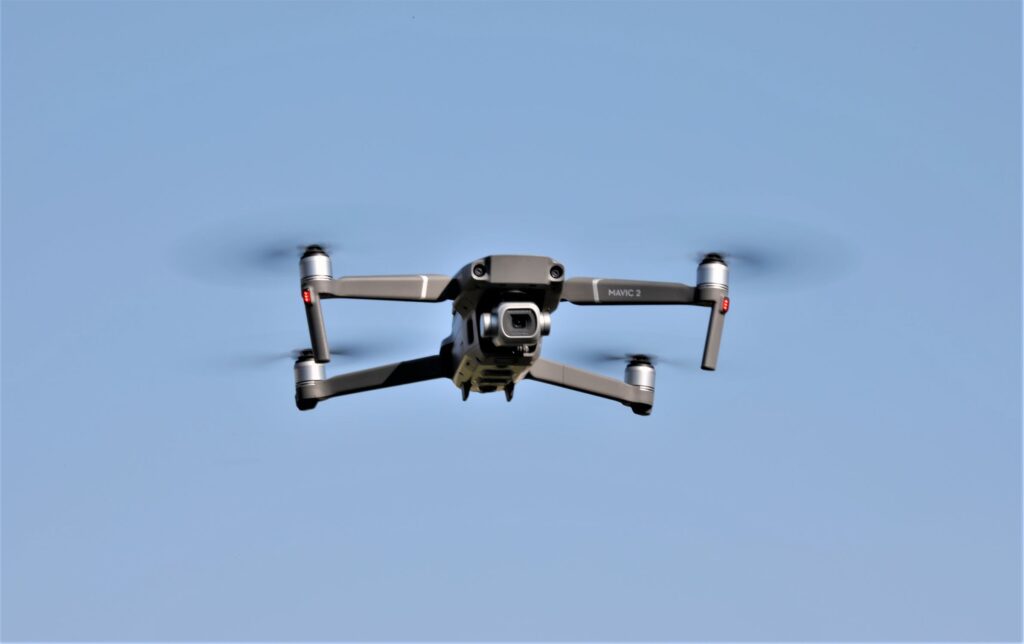
The surveys were made with a DJI Phantom 4 Pro. The optical images of the volcano were captured with the Phantom’s sRGB camera, and thermal images were captured with a FLIR TAU 2 thermal imaging camera.
To be able to capture images of active volcanoes has eluded volcanologists (scientists who study volcanoes) for a long time. Because volcanoes are so volatile, they are extremely hazardous, so that the ground can collapse beneath a person, or flaming projectiles can suddenly start flying in any, or all, directions.
Because volcanoes are typically so large—gigantic—they are very difficult to capture by a camera from the ground. The data probably would not contain enough content to be useful, that is, enough to create a 3D map for researchers.
The model the German researchers captured included information that could not have been gathered as thoroughly from the ground, because it included the lava’s flow pattern and velocity, along with the volcano’s surface temperature, and therefore is not safe, unless measured from a distance, as in the case of a drone. Such data is essential for determining if a major eruption is imminent.
Here again, this is where drones come in. Unlike helicopters, which are extremely expensive, drones can provide the data needed, at a very moderate cost, and safely, at a distance. Furthermore, because drones are so versatile, it is relatively easy to re-measure the volcano if needed. In fact, the German researchers repeatedly flew their drone over the Caliente cone of the Santa Maria volcano.
Future
A drone to the rescue!
We are hearing that more and more, as we become increasingly aware of the numerous things that drones can do, that would be either impossible with other aircrafts or simply too expensive.


