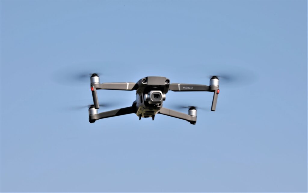
One of the domains by which the use of drones is expanding significantly is the forestry sector, where drones serve as a useful, even revolutionary, tool for the forest industry.
Just as the military has, and is, using drones to assist them in military battles, drones are now being used in a battle over the conservation of our forests. Although about 30% of the world is covered by forests, that estimate is falling at an alarming rate and this rapid deforestation accounts for around 11% of greenhouse gas emissions caused by humans.
Forest conservation is the planning and maintaining of areas of forests for the benefit and sustainability of future generations. Forest conservation, therefore, involves the upkeep of the natural resources within a forest that are beneficial for both humans and the ecosystem. In order to maintain and sustain areas of forests, conservationists plan and execute actions they consider necessary to sustain healthy forests where there is a suitable habitat for humans and wildlife.
Different Types of Forests
There are many different types of forests, which are categorized by climate and location. It is estimated that about 98% of our forests in the U.S. are natural with the remaining 2% plantation land. About 33% of our country is made up of forests, with 37% of it encompassing subtropical forests. The remaining 15% consist of boreal forests, which are forests found in the northern region of our country that have long cold winters and short cool summers, like our northern neighbor, Canada.
Temperate forests have high levels of precipitation with rates between 20 and 60 inches in the form of rain or snow. Temperatures in temperate forests range from -22 degrees to 86 degrees Fahrenheit and are found mostly in the Eastern region. Due to the large amount of rainfall, these forests support a variety of species.
Subtropical forests are made up of evergreen species that retain their leaves year round and deciduous species that lose their leaves annually and are found along the southern border states. These forests have warm climate along with consistent rainfall, which results in more plant growth than any other environment in the U.S.
Researchers have found that using drones in different applications of forestry is not only cost-effective, but also not very labor intensive.
Here are examples of how drones can be used in forestry conservation:
- Forest mapping
- Biomass estimation
- Fire detection & tracking
- Vegetation health analysis
- Storm damage assessment
- Planting / replanting campaign planning
- Deforestation / illegal logging / farming / incursion monitoring
- Threats to Forests
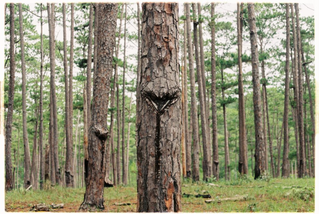
Deforestation is a very alarming threat to forests because it is the permanent destruction of forests and woodlands. It is the result of commercial logging, conversion of woodlands to agricultural land, and the removal of trees for firewood and building material. Commercial logging is big business as so many of our products, especially paper products, come from trees. Illegal logging is also a threat since it is the harvesting of timber for profits without permission.
Urban development and building projects take a heavy toll on forests. Not only because of the loss of trees, but also because of what accompanies the process of deforestation. When heavy machinery is used to clear forests, or to develop land, the soil becomes compacted, which results in the water supply not being able be absorbed by the tree roots, which can be deadly to the health and growth of trees. Furthermore, soil compaction also can create flooding because it hinders the filter from getting the groundwater into the soil, therefore water can build up on the surface, and results, in flooding.
The extinction of species is another threat to forests. With the removal of forests, plant species are removed altogether, for the most part, and animal species suffer because they cannot survive without what is essential for them, such as cover or protection, food, and safe, peaceful areas for the reproduction process. Since animal species find it difficult to adapt to the disruption of their life cycles, such as loss of food sources like plant life, which is lost with the removal of forests.
Recreational use is another threat to the health and growth of forests, where people treat the forest with disrespect and abuse it with littering and the use of space that is wasteful.
Invasive species, which are any species that are not native to that ecosystem,threaten forests’ ecosystems by causing disruptions in the function of the ecosystem.
Conservation Methods
Forest conservation is used to improve forested areas and to make the available resources sustainable.
Afforestation is a proactive method of planting trees for commercial purposes, that is, taking resources from existing natural forests, and using them as resources instead of naturally existing forests. Afforestation takes place when the planting of trees is introduced to virgin territory, an area that previously had no trees, which creates habitat for wildlife, recreational areas, and commercial use, while not causing harm to natural forests.
Reforestation is a method that is the very opposite of deforestation. It is sustaining forests by planting trees in an existing forested area, thus sustaining and improving existing forested areas.
Selective logging is another technique used to meet the needs of both the forests and those seeking economical resources by removing trees within a stand based on size limitations. This allows for forest regeneration to occur between and after the selective harvest cycles.
Controlled burn is what many may think strange, but it is a way to conserve forest resources. Controlled burn is a technique that is used to manage forests, because fire can be very beneficial, even essential, to the ecosystems within a forest. Fire renews the forest undergrowth and also stimulates the germination of tree species. In fact, some species of trees, such as the Sequoia, cannot reproduce because the seedlings remain dormant until “broken” by fire.
Wildlife management areas are another conservation method in which the state departments of natural resources and conservation develop, maintain, and manage public lands across the nation with special regulations and rules that apply to all wildlife management areas across the nation. These specified areas are accessible to the public for various recreational uses and enjoyed by hunters and campers who are legally allowed to harvest wild game. Hunters are required to have a valid hunting license, as may also be required to have a “land use” permit.
Land resources, within a wildlife management area, are conserved by not allowing the harvest of tree species, or alteration of the land, in any way.
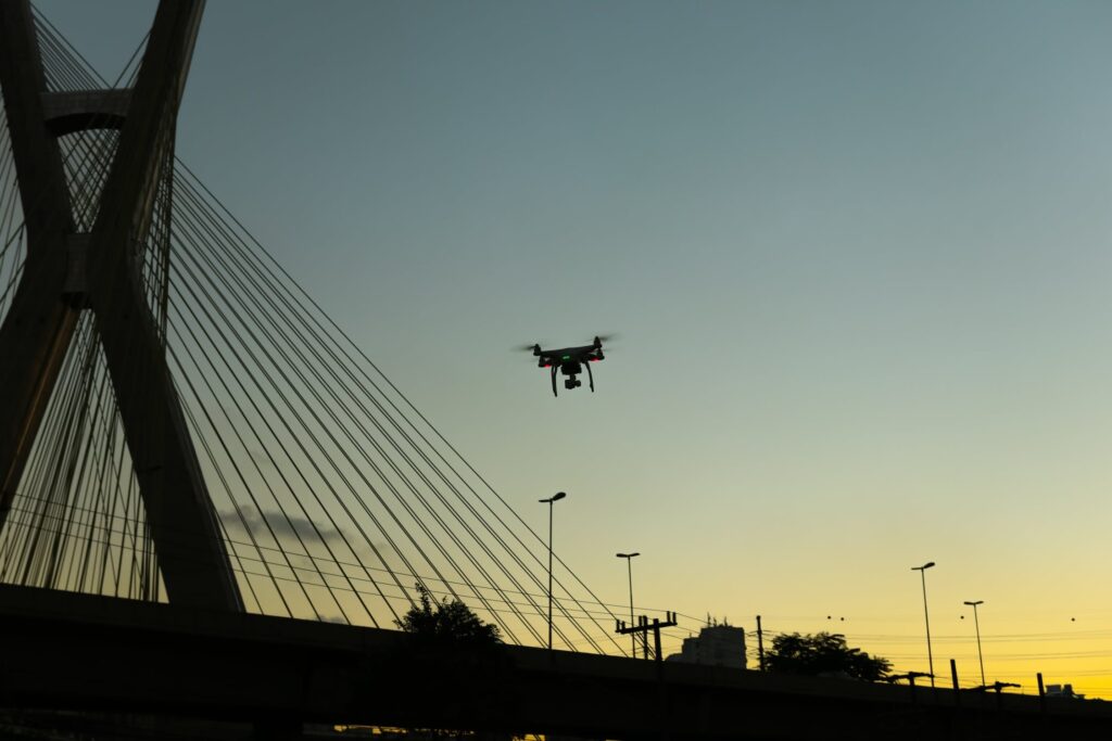
The Use of Drones
The alternative to drones, such as satellites, helicopters, airplanes, or counting wildlife populations manually, are time consuming and costly, and do not provide high-resolution images or up-to-date data. UAVs virtually eliminate the challenge conservationists face of mapping land and wildlife in remote areas.
The following are a few examples of capturing such images on video:
- Orangutan nests in Indonesia
- Oil palm plantations, a leading cause of deforestation in Southeast Asia
- Illegal logging within a national park in Indonesia
- Vegetation burning to clear forests for agriculture in Sumatra
Future
The world’s tropical forests lost around 39 million acres of trees in 2017!
This loss was primarily due to anthropogenic deforestation. Conservationists, however, are finding hope in using drones to monitor, preserve, and even regrow, the earth’s forests and wildlife populations.
Conservation drones are mainly used for mapping habitats, counting wildlife, and patrolling protected areas. In spite of the fact that drones have a limited flight time due to current battery technology, conservation drones are making a difference in forests all over the world. It is only a matter of time until drone technology will continue to make strides so that drones will be able to stay-in-flight for longer periods of time.
Following World War II, the first Smokey Bear symbol appeared on a poster to represent a fire prevention cooperation. This Smokey Bear icon quickly appeared everywhere in our country, repeatedly reminding us not to take nature for granted because our resources are not unlimited within the forests. Smokey Bear became one of the best advertisement icons which paved the way to conservation efforts.
Maybe we need the equivalent of a Smokey Bear today as well!