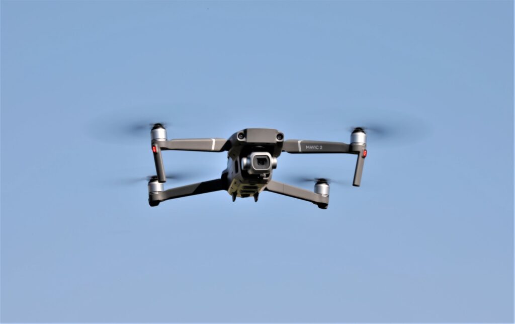
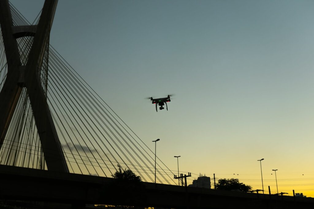
In spite of the fact that drones have received mixed criticism because of their associations with invasion of privacy and with their armed deployment in war, disaster management is increasingly greater openness to the positive contribution that provides safety, protection and relief from disasters.
When it comes to natural disasters, the numbers are very grim.
Since 2010, the following are the devastating numbers:
- 2,018 total numbers of natural disasters
- 336 disasters per year
- 525 storms per year
- 822 floods per year
- 139 million people are affected by natural disasters every year
On average, natural disasters cause
- 60,000 deaths whereas the average for the previous decade was well above 70,000
fatalities per year.* Hanna Ritchie and Max Roser, “Natural Disasters” (November 2019).
There has not only been a significant decline of deaths from natural disasters in the last decade, but in the past century, there has been a 10-fold decline over the past century.
In the past, the natural disasters that had the highest death-toll were droughts and floods.
Whereas in recent years most disasters are due to earthquakes. Low-to-middle income classes are hit the hardest because of poor, inadequate infrastructure and therefore inadequate response to such natural disasters.
New Technology
New technology may give emergency management a new way of handling crises, and possibly, a new perspective on how to utilize resources more effectively.
Drones have a variety of intelligent applications when it comes to emergency management. They can relay aerial footage for incidents that may provide a very different perspective to emergency managers on the ground. These managers may be trying to figure out how to initially manage a crisis and decide what kind of resources they will need to get the incident under control.
Disaster Response
Disaster response consists of the following basic steps:
- Warning
- Evacuation
- Search and rescue
- Immediate assistance
- Assessment of damage
- Continued aid
- Restoration of basic infrastructure
Disaster response seeks to provide immediate assistance to save lives, but also to lay the groundwork for larger scale aid work and initial repairs to damaged infrastructure.
Disasters, whether natural or man-made, destroy environments, often leaving conditions so difficult that it is impossible for relief workers to access some areas and provide the needed assistance. Drones have the ability to take on roles where relief workers and manned vehicles fall short. Flying robots can also deliver rescue ropes and life jackets in areas that are too dangerous for ground-based rescuers to venture into thus saving and protecting our nation’s heroes.
Just as there are other pieces of technology that have been developed for the military, drones have an interesting application in emergency management and are giving emergency personnel new ways to manage a developing crisis.
In recent times, technology has been employed to speed up disaster relief efforts. Drones and robots have been used to locate survivors, transmit information to emergency teams and deliver humanitarian aid.
Recent Technologies
UAVs are outfitted with various sensor options that include visual, thermal, LiDAR, hyperspectral and multispectral. In earthquakes and landslides, these sensors can be flown to conduct ground surveys. The thermal sensor, for example, is perfectly suited for detecting the heat a human body emits, which helps locate survivors. Various sensors are efficient in obtaining data to create an exact 3D reconstruction of disaster zones, which, when compared with historical data from satellites, offers new perspectives on the extent of damage, and terrain or field deviation that could help manage future disasters.
ALIRT (Airborne Ladar Imaging Research Testbed) is a relatively new technology that can produce high-resolution 3D renderings of terrain and infrastructure, which can assist in identifying changes in the population of displaced persons. Drones, in turn, are able to quickly provide this information to agencies, and then cargo drones can dispatch vital resources such as tents, blankets, water, food and medical supplies.
Because there have been several disaster prediction technologies developed in recent years such as ALIRT (Airborne Ladar Imaging Research Testbed), drones can reduce fatalities and injuries from natural disasters because of their ability to predict, and thus provide advance warning to people in danger zones.
The National Center for Atmospheric Research developed what is called “Wildfire Prediction,” to predict wildfires through computer simulations. The computer model is updated every 12 hours with the latest satellite data and observations, which makes it possible for scientists to provide forecasts and warnings.
Flood Prediction uses radar, streamflow computer simulations and highly detailed computer model weather simulations, which can be used to decide whether or not to issue warnings.
Earthquake Prediction is part of an earthquake early warning system developed by the U.S. Geological Survey, which uses high-grade ground motion sensors.
Areas that are vulnerable to large-scale disasters, such as earthquakes and flooding benefit greatly from visual imaging and 3D mapping. Manned aircrafts are often too expensive to use and satellite mapping does not meet high-resolution needs, and both are too slow during emergency situations. This is where drones provide greater advantages in cost and in rapid response when compared to traditional methods.
Micromappers was launched in 2013. Micromapping refers to the mapping of small scale features such as objects like a building, even a building entrance, as well as steps leading to that entrance. Another aspect is to improve the visual representation of scenery of a very limited area for 3D. Micromapping creates a map from social media relief updates and sends it to aid agencies that get real-time updates from affected areas. Micromapper helps aid organizations to effectively plan relief efforts before going into disaster zones. During the 2015 Nepal earthquake, Micromappers processed over 60,000 images and tweets.
Google People Finder is another innovative technology developed in 2010 which can help with disaster relief efforts. It is an open source web application that is available in over 40 languages. The application allows users to post, and search for the status of people affected by a disaster. For instance, during the 2015 Nepal earthquake, more than 7,500 records on the people finder were searched.
The Red Cross Emergency App gives survivors weather updates, preparedness information and safety tips and has saved numerous lives.
Future
Many American startup companies are coming up with ways of using artificial intelligence (AI) in a bid to save lives when natural disasters occur. Combining artificial intelligence with unmanned aerial vehicles make them powerful, yet practical, tools in disaster management. Such drones can help first responders and rescue workers quickly as they assess the situation, as well as determine the extent of the damage caused. This enables them to come up with a suitable action plan for saving trapped victims.
Drones have the ability to provide a safe platform to collect real-time observations and actionable data and flexibility in reaching inaccessible or unsafe areas.
The deep concern in the frequency of natural disasters has led humanitarian agencies to become increasingly dependent on technology for faster, more efficient and effective delivery of aid work.
It should be obvious that drones are important for disaster management. Medical, police and fire departments should consider using them to improve their effectiveness. Drones can provide useful information for a variety of disastrous situations, and can save lives when minutes count.


