It is not an exaggeration to claim that drones are revolutionizing counting stockpiles.
There is no doubt that using a drone for measuring stockpiles is a great solution for many companies, especially big ones, with inventory spreading across large worksites. Whether you work in the construction, mining, infrastructure, etc. because industry stockpile management is a critical requirement on any job site. However, measuring stockpiles can be very unsafe, time-consuming, and expensive.
Accurate data to run the business operations is crucial, and until the emergence of drones, measuring and collecting data often required a survey team to traverse into the field for hours and climb across stockpiles on a hazardous job site. Drones have made it possible to gather the same survey data in minutes from the safety of the ground, and at the same time, achieve higher accuracy. This also frees up the survey team to focus on other important projects.
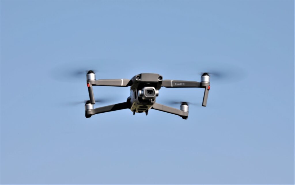
Unmanned aerial vehicles (UAVs) have become a trusted tool for surveying and measurement and has eliminated many of the challenges companies face with traditional survey methods. When paired with powerful photogrammetry software, drones can help lower the data collection costs,increase accuracy, save time, and keep the team out of danger since there is no need for an entire survey team. If a company hires a pilot, then there is no need to invest in equipment, such as expensive laser or Lidar hardware.
Drones with either LiDAR or Time-of-Flight (ToF) sensors can be used to measure stockpiles of material such as stone, gravel, rock, pulp, paper, logs, wood chips, mulch, and manure, etc. This is accomplished by a drone with ToFsensor flying over the stockpile and capturing the area in 3D with a single light pulse. The light pulse is measured in picoseconds, that is, lightning fast. A picosecond is an SI unit of time equal to 10 or 1.000 000 000 000 (one trillionth) of a second. A picosecond is to one second as one second is to approximately 31,689 years.
Time-of-Flight (ToF) cameras on drones is a fairly new technology. ToF cameras are like a sonar system, except it uses light rather than sound to detect things. They are also known as depth cameras, because they map out the surroundings and thereby create a basic three-dimensional representation of what is in front of them.
The measurement takes place in far less than a blink of an eye. The light travels at 300,000km per second. If a subject is 5m away, for instance, the time difference between the light leaving the camera and returning is just 33 nanoseconds or 0.000000033 seconds.
Because these time differences are measured at every single pixel across the image, it is this picture that creates the three-dimensional map of the scene, and it can do this continuously.
Stockpiles do not have a shape with an easy volume to calculate, like a perfect cube or cone, but instead are irregular. But drones can capture all the irregularities and carefully report them in the survey. This enables the computer to calculate the volume of the true shape rather than a rough estimation.
The data is then automatically uploaded into cloud storage and is processed using specialized software and the aggregate of the stockpile can be presented in a couple of minutes, including the perimeter, area and volume, of each stockpile. More detailed information of the stockpile is then generated over the next few hours. Stockpile density and cost factors can be entered to calculate stockpile weight and value which is required for stockpile inventory reports.
Using drones to measure stockpiles is a terrific new use and can be used in these industries:
- Mining
- Quarrying
- Agriculture
- Forestry and Logging
- Landscaping
- Road Construction and Maintenance
- Ready Mix Concrete
- Railway Construction and Maintenance
- Waste, legally or illegally dumped
- Paper Products
- Metal & Recycling
Using drones for measuring stockpiles allows companies to:
- Speed up measurement time
- Remove humans from unsafe spaces
- Capture large, complex piles
- Gather consistent, reliable inventory data
- Make better, more strategic, business decisions
It should be obvious that using drones for measuring stockpiles and thus completing inventory, instead of being a hassle, is a great solution for many companies with inventory spread across large worksites. Drones make it possible to measure several stockpiles in a matter of minutes.
Flying drones that count stockpiles across worksites makes any job simpler, faster, and safer.
One of the things that makes counting stockpiles an attractive business is that it applies to so many industries, at least 11 industries.