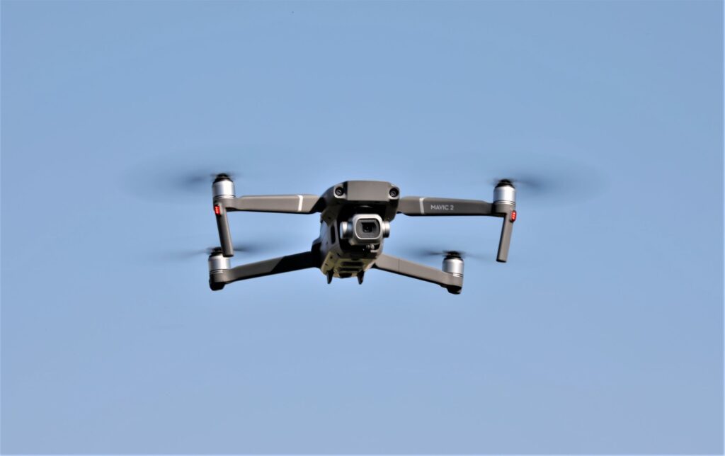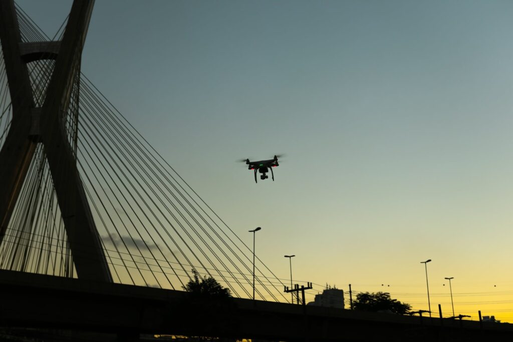
Drone Rescue Map: Increasingly we are hearing stories about drones helping to save lives.
Is there anything more important than such a service?
There is the case of a family that was lost while hiking on a nature preserve in Plant City, Florida. The husband was found quickly with the help of a drone, which was critical since the temperature reached the 90s, and the family could have suffered heat stroke if they were not found in time.
There is a similar story where the Anchorage Police Department used a drone to find a woman lost in a wooded area with extremely windy conditions, which caused her tracks to be covered by the snow in Alaska in a mere 15 minutes. A loudspeaker was attached to the drone, which enabled the police to reassure her that help was on the way. She was rescued in time without any injuries.
The following global drone rescue map makes it clear that it is not that more people are being saved, but that there are more reports of rescues. Careful studies show that many more people are, in fact, being rescued.
DJI’S GLOBAL DRONE RESCUE MAP
The map shows locations throughout the world where drone rescues have taken place. In this context, a drone rescue refers to instances in which:
- Drones have found missing people.
- Drones have brought supplies to trapped survivors.
- Drones have peered through smoke and darkness to find unconscious victims.*
The following information provided by DJI shows the criteria used for the selection of such rescues:
The map does not include incidents where a drone is merely used as part of a larger search process; instead, a drone must be essential to the rescue by directly locating, assisting, and/or rescuing persons in danger.
The map used is interactive, which enables a person to click the specific country where drone rescues have taken place. For each rescue, DJI has provided key details of the event as well as links to third parties with more information on the rescue.
Not all of these rescues were covered by the media, but rather were discovered in social media posts, such as public safety agencies, local authorities, and most often, by law enforcement.
Many of the drone rescues, included in DJI’s new map, show that the most important factor drones provided was speed. This was true whether it was the rescue of a person missing at night in extremely cold weather, or a person injured in a car accident.
In addition to speed, thermal cameras proved to be essential because they are able to help locate missing people by searching for their heat signatures.
In one of the rescues included in the report, a search and rescue volunteer used a drone to find him when he was injured and near death in a local park. He testified, “. . . a drone saved my life. My family and I are eternally grateful that a total stranger was able to use his drone to find me.”*
The DJI Drone Rescue Map DJI reports that a total of 413 people have been saved by drones in 234 different incidents across 28 different countries.*
Romeo Durscher, DJI Senior Director of Public Safety Integration, stated (concerning the drone rescue map and how it displays the good side of drones) the following:
“The DJI Drone Rescue Map is now the best global reference for how effective drones are in emergencies, and allows the world to see the tremendous impact drones have had in finding lost people, shortening searches, reducing risks to rescuers and saving lives. Public safety workers already know how drones are revolutionizing their work, and now the rest of the world can see their amazing stories in one place. The DJI Drone Rescue Map honors the incredible rescues they’ve made, and will allow everyone to see how drones help save people in the future.”*
It was not until 2017 that DJI first started to officially report on lives saved by drones. The first drone rescue was recorded in Canada in 2013, and the next one was more than a year later. Early examples of drone rescues were often performed by helpful bystanders, whereas today drone rescues are reported weekly for the most part, and public safety agencies share those success stories on a regular basis on social media.
The following are amazing statistics on drone rescues beginning in 2017 until 2020.
- January-April, 2017—59 people saved by drones in 18 incidents (covered in a report entitled, “Lives Saved: A Survey of Drones in Action”).
- May, 2017-April, 2018—65 people saved by drones in 27 incidents (covered in a report entitled “More Lives Saved: A Survey of Drone Rescues Around the World”)
- October, 2019—279 people total reported saved by drones (statistic shared at DJI AirWorks, 2019).
- June, 2020—413 people total reported saved by drones in 234 incidents (Global Drone Rescue Map).*
This data shows that there is a significant increase in the number of rescues by drones during the last three-and-a-half years.
This new Drone Rescue Map from DJI is a living record, and will be continuously updated as new drone rescues are reported throughout the world.
The Drone Rescue Map, available online athttps://enterprise.dji.com/drone-rescue-map
Future
Many of these dangerous incidents illustrate how drones can find missing people more quickly than a traditional ground-based search, enabling victims to be brought to safety faster, more easily, and with less risk for their rescuers.