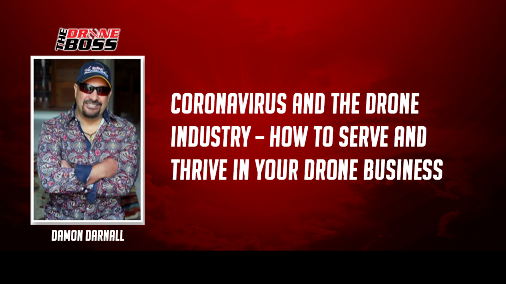
Coronavirus and Drone Business – How to Serve and Thrive In Your Drone Business
Hey, in this episode, we’re going to look at the impact of the coronavirus and how it’s affecting drone businesses, what you need to know, and what you can do not only take care of yourself, but your health and the health of your drone business. Also, how you can help others in your community […]
Coronavirus and Drone Business – How to Serve and Thrive In Your Drone Business Continue Reading »