Coastal zones contain rich resources to produce goods, is and services and the source of so much of commercial and industrial activities. This is why coastal management needs all the tools available, such as drones, to prevent erosion and flooding, as well as other services.
Even though coastal zones occupy less than 15% of the earth’s land area, they host more than 45% of the world population and nearly 1.4 billion people live within 62 miles of a shoreline and 109 yards of sea level, with an average density 3 times higher than the global average for population. It is estimated that 75% of the world’s population will live in the coastal zone by 2025, which imposes further pressure on the areas and will make management of these areas even more important in the near future.
Coastal managementin involves the following:
- Volume estimation
- Erosion monitoring
- Storm damage assessment
- Beach replenishment planning
- River and flood assessment
- Aerial assessment of flood damage
- River mapping and modeling
- Flood defense planning
- Water-flow simulation
- Erosion monitoring
- River surveys
Protection against rising sea levels in the third millennium is an existential issue since the sea level continues to rise. Because of the increasing tidal energy, the sea level damages beaches and coastal systems causing damage to sediments.
For the last five to six thousand years, nations around the globe have had to deal with damage to coastal areas, so this is nothing new.
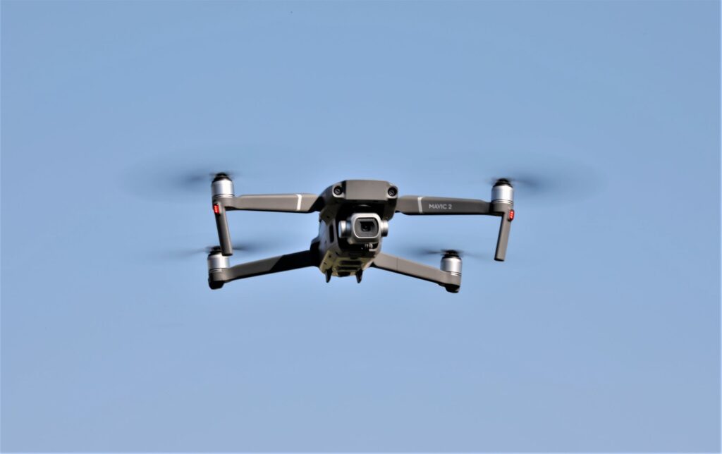
With continued advances in drone technology, there has been an increasing impact of unmanned aerial vehicles (UAVs) in numerous sectors of industry, including the maritime sector.
The following are some of the uses of drones in coastal management:
- Surveying and mapping habitats
- Detection and monitoring of harmful algal bloom (HABD)
- Detection of coral bleaching
- Surveying tidal marshes
- Coastal/offshore research
- Shellfish management
- Marine debris detection
- Management of beaches and sand resources
- Mapping flood zones
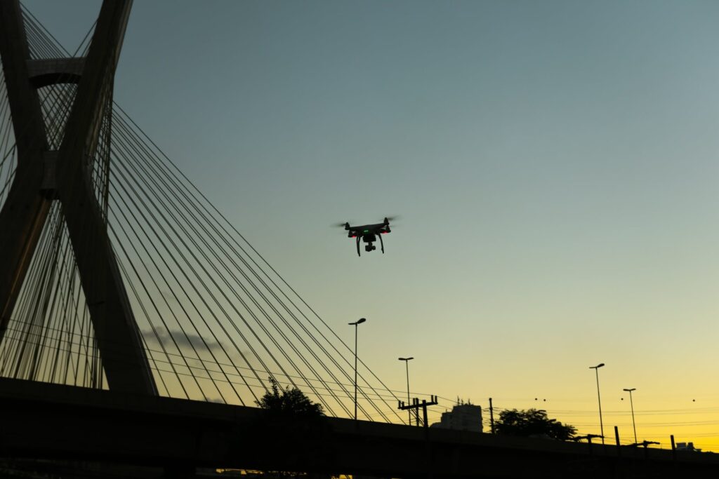
- Inspection of bridges and other structures
- Monitoring of human/animal interactions
- Monitoring coastal vegetation
- Monitoring erosion
- Monitoring changes in land volume
- Monitoring the state of the coastline
- Monitoring water quality
- Pollutant tracking
- Monitoring tidal marsh stability
- Breakwater inspections
- Geological cliff and rock surveys/baseline surveys
Using unmanned Aerial Vehicles (UAVs) to acquire accurate quantitative geospatial data is challenging, and thus requires advanced technical skill and knowledge. This is why it is usually necessary to hire experts in drone operations and data processing.
Drones are a great asset for monitoring the stability of a coastline and for carrying out a rapid initial survey after a storm.
UAVs can quickly survey potentially difficult and hazardous, large sites with a very high level of detail.
Limitations
Two of the features that continue to limit drones from certain services in this sector so far, are short flight times, due to battery constraints, and the fact that drones can be flown only below 400 feet and must remain within the pilot’s line-of-sight at all times.
Popular Drone
Flightwave Edge is very popular as a drone for the coastal management sector. It is a hybrid tricopter fixed-wing aircraft that can take off and land using Vertical Take Off and Landing (VTOL) technology. It is also able to seamlessly transition from hover to forward flight and back again. Its twist-lock payload system allows operators to fly multiple missions using a single aircraft.
Future
Mitigating the effects of climate change requires coastal protection studies and coastal protection measures, which increases the burden of allocating limited financial resources.
Although drones still suffer from some limitations, such as short flight times and the need to be flown below 400 feet, drone technology is continually advancing, as are rules and regulations.
Even with these limitations, we have seen the numerous services drones provide for coastal management and this will only increase as technology continues to make improvements in a relatively new market.