GIS stands for “geographical information system.” A GIS (GIS Mapping) is a computer program that can capture, store, organize and display data which is related to specific parts of the surface of the earth.
Something that was created using GIS mapping will look like a map that shows the correlation between distance above sea level and temperature.
Generally speaking, any software that works with map data can be considered GIS software, but the term has a more specific meaning, that is, it usually belongs to traditional and powerful software packages which run as desktop applications. These tend to operate with data in proprietary data formats.
GIS programs are able to show multiple types of data at once on the same map which enables scientists, historians and others to see patterns that might have otherwise been missed. GIS mapping makes it possible to recognize and analyze geographical relationships, and such information can be used to formulate plans to improve life.
Because GIS mapping makes it possible to view multiple variables at the same time, if there is a common thread among variables, then it will, most likely, be noticed immediately, so that the experts can work on figuring out the correlation (if any) between two or more variables as detected by GIS mapping.
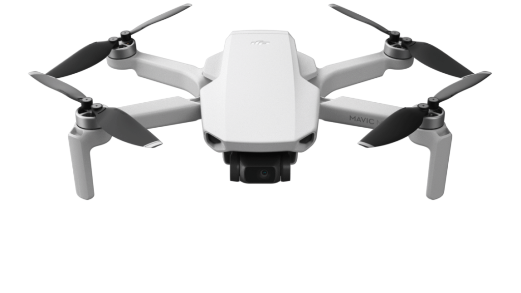
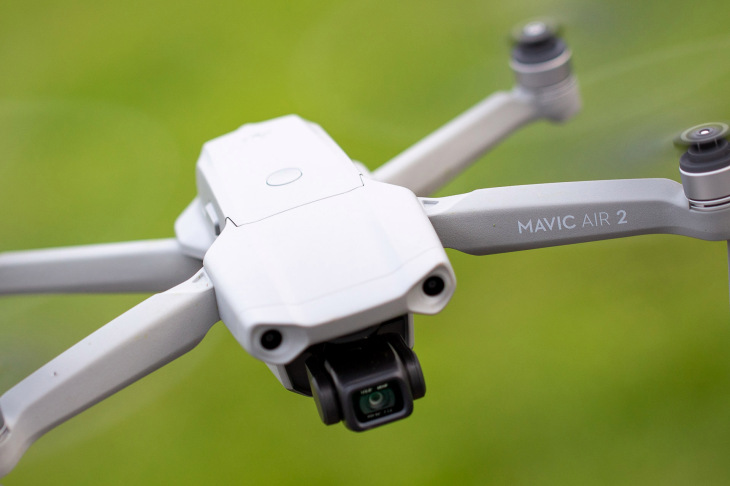
In any engineering project, whether small construction work to big mining or infrastructure projects, the initial need–the first stage–is maps. Instead of using obsolete satellite imagery, which tends to be inaccurate, or using conventional surveys which utilize ground equipment and take days to deliver the final results, UAVs are used and they can perform these tasks and they do so with high resolution maps of acres of land in a short time.
GIS professionals provide a wide variety of land-related services such as the following:
- Identifying property boundaries
- Subdividing land
- Surveying construction sites for placement of buildings
- Producing topographic and hydrographic maps
- Producing volumetric calculations for stockpiles, and flood insurance
The ArcGIS Drone Collection offers scalable solutions for users, ranging from small operators to enterprise-wide drone programs. Its software can be used by organizations that need drone imagery for visual inspections, site monitoring, asset management, or situational awareness, and then want to analyze that imagery to gain greater insights into their operations.
Other uses are the following:
- The lead water pollution in Flint, Michigan, was recognized and compartmentalized, based partly on GIS mapping.
- GIS mapping can be used to show vegetation and produce levels in relation to rainfall.
- Utilities; with the need to inspect power lines, architecture, engineering, etc.
- Construction organizations that want to monitor site construction.
- Construction companies that needs a quick, cost-effective way to assess the integrity of their assets or the extent of possible damage.
- Safeguard scientific personnel, members of the Armed Forces, and civilians since GIS mapping is often done in recently decommissioned war zones.
- Evaluating areas that are suspect, where enemies may be hiding. Knowing where every tree, bush and rock is in a given location provides tremendous advantage over the enemy.
Future
Small drones will continue to create new opportunities for independent contractors who may be able to fly and collect data less costly than surveyors. However, GIS mapping has shown that what is most important is not the skills of a drone pilot in flying the drone, but the knowledge and data processing skills of the surveyor and photogrammetrist.
In this article we have seen how the advantages of using mapping drones are obvious.
Drones equipped with cameras that can transmit various types of GIS data, lower costs on multiple levels. Because of their size, mapping drones are non-invasive since they are built to observe, record, and interpret data and nothing else.Large area mapping, with several big projects that use drones, have found that such projects can be completed in a much shorter time and with less cost. Using UAVs also has considerable advantage in quality when compared to a satellite imagery when compared to traditional aerial data using traditional aircraft.


