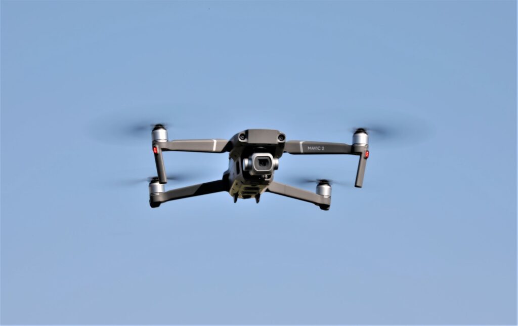
Woolpert, an architectural/engineering firm, is using survey drones to make Colorado highways safer.
An engineering firm, Felsburg Holt & Ullevig, brought in Woolpert to complete drone surveys for a right-of-way project in Castle Rock, Colorado. The company is using a process known as “InRoads Terrain Modeling Survey System.” Survey drones are using the imagery and mapping collected, and then assess and design a frontage road adjacent to Interstate 25, according to The Colorado Department of Transportation.
The system, SenseFly, is a fixed-wing drone system that offers extended flight times and real-time “kinematic (RTK) technology” that Woolpert is using in this project. These survey drones produce an extremely accurate topographic base map and “orthorectified imagery”* for a new design survey contract.
Woolpert, an architecture, engineering, geospatial and strategic consulting firm, has used survey drones increasingly in recent years as an innovative way to grow the company’s base. As examples, the firm has conducted drone projects for the following: Federal Aviation Administration (FAA), U.S. defense department, airports and mining companies, as well as state Department of Transportation (DOT) projects in Virginia, Pennsylvania, Florida and Ohio.
Woolpert is sold on survey drones as evidenced by one of their representatives:
“Using UAS will save the client time and money, and offer a superior, visual deliverable. We know what’s required by the town of Castle Rock and CDOT, and our drones are collecting exactly what’s needed safely and efficiently.”
Michigan Tech Research Institute (MTRI) hired Woolpert, in 2016, to collect drone images and data on so-called “haul roads” – unpaved roads – throughout the Midwest. The project, titled “Characterization of Unpaved Road Conditions Through the Use of Remote Sensing,” is sponsored by the U.S. Department of Transportation (USDOT).
Researchers at Michigan Technological University use the data to test new algorithms for evaluating road conditions. This is similar to the technology used in precision agriculture to assess conditions of various fields, such as levels of drought and crop health based on aerial imagery.
Future
Survey drones are making Colorado’s Highways safer!
Our country is in desperate need of investment in infrastructure. Drones can make a huge contribution to such a project.
Woolpert, the visionary architectural/engineering firm, is setting the pace for other firms. Hopefully other industries and firms will follow Woolpert’s visionary philosophy.


