Storm Drones: There have been great strides in forecasting the weather since 1749!
Historians tell us that the earliest unmanned aerial vehicles (UAVs) used to collect weather data took place in 1749 when kites were equipped with thermometers. These were first used in Europe as they helped to collect data on pressure, temperature and humidity. They continued until the 1930s when weather balloons were introduced.
It was not until 1960 that the first weather satellite, called the US TIROS 1, was launched. More satellites were launched through the years which have relayed satellite imagery, sensor data, etc.
The first unmanned aircraft, The Persus, was developed by NASA in 1991. It became the first weather drone and was designed to fly 60,000 feet, thus collecting data on ozone depletion and weather patterns. Although The Persus was helpful in gathering useful data, it was only used until 2003.
Specialized Drones
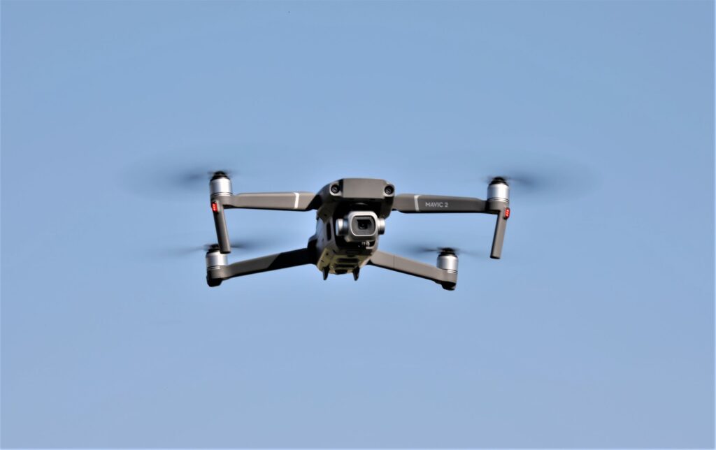
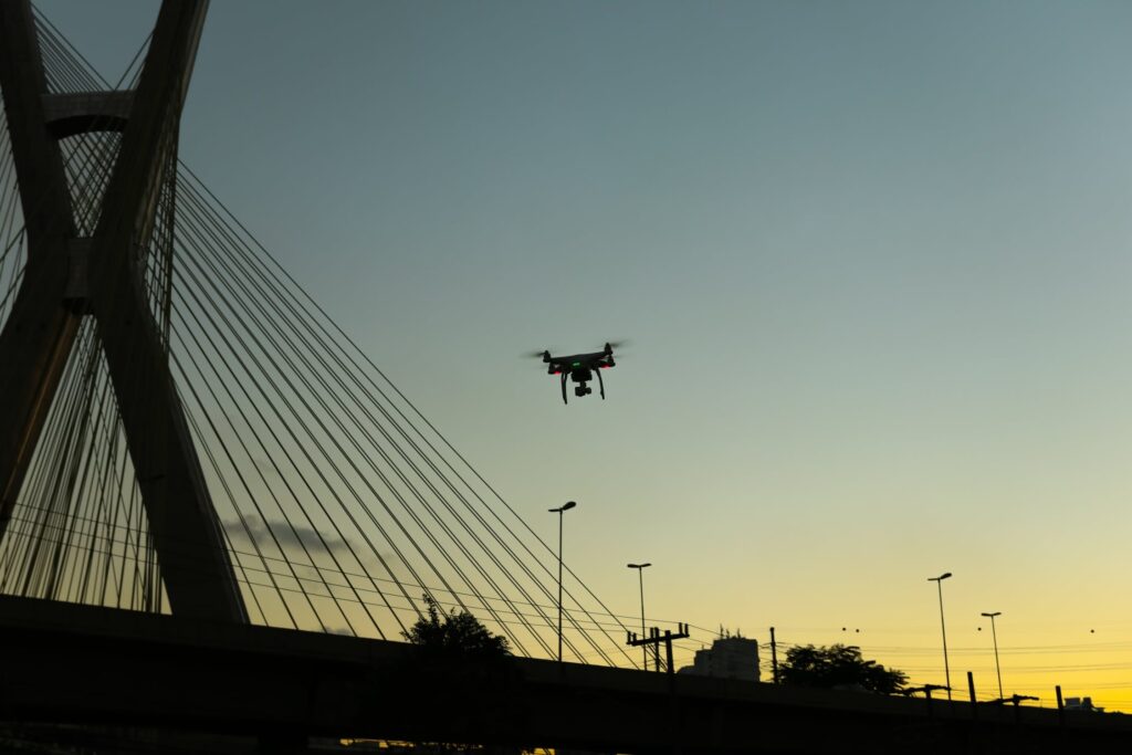
Because of the increasing use of UAVs, scientists have developed specialized drones that are able to gather weather data and information and assist scientists in the difficult “science” of making weather predictions.
With storm drones flying through different parts of the atmosphere at different altitudes gathering data, meteorologists are able to fairly accurately predict weather conditions weeks, even days, ahead of time. This, of course, is crucial, especially in areas where violent storms most often take place.
For the most part, tornadoes typically pass through the Midwestern and Southern states leaving a trail of destruction. What makes this especially serious is that tornadoes are very difficult to predict. This is why, on average, meteorologists issue less than 16 minutes notice for the residents to take cover and shelter themselves, which of course, simply is not enough time for a family to evacuate and/or shelter themselves.
By using a meteorology drone, meteorologists are hoping to gather and supply real-time weather data to shorten the time it takes to issue a notice from 16 minutes to 1 hour. Unlike hurricanes, tornadoes are difficult to predict because they form very quickly and on a smaller scale. This is why timing is virtually everything in that predicting when and where a tornado will form requires a constant supply of detailed weather data about atmospheric pressure, humidity and temperature.
Although radiosonde balloons still play an important role in gathering weather data, for the last 10 years, meteorologists have found that using drones has been much more effective. This has renewed their interest in using drones to gather real-time weather data.
Experimental Projects
The state of Oklahoma has a dynamic weather system where in some areas, there are more than 15 twisters that touch down within a week. This has led meteorological researchers from Oklahoma University to develop miniature drones since 2013. These drones can gather and relay real-time data to scientists on the ground.
Students and faculty members from the mechanical and aerospace engineering faculty, have been designing and building the Kevlar reinforced weather drone. Kevlar was selected as the best material because it is able to withstand high winds and other forces that impact the drone while in the air.
The latest project of the students and faculty members from the mechanical and aerospace engineering faculty at Oklahoma University has been the development of the sleek, Kevlar-reinforced unmanned aircraft. These drones will be equipped with a high-resolution camera enclosed in Kevlar material, which will prevent damage to the systems when it encounters a storm. This drone is designed to fly directly into the worst storms and send back real-time data to first responders and forecasters.
A fairly recent experiment in studying the vertical profile of a storm, has been the attempt to use storm drones whereby sensors are dropped to gather data. These UAVs are equipped with individual sensors and are flown into the sky and the sensors, also called dropsondes, are designed with small parachutes that enable them to collect data as they fall.
Present & Future
While traditional weather collection systems are becoming obsolete, especially when it comes to tracking and predicting the occurrence of storms, drones make it possible for meteorologists to receive data and measurements in real time. Furthermore, storm drones provide safety and saves money since they can be deployed in violent storms at a minimal cost because there are no need for pilots in the air.
Drone technology continues to improve in terms of design and longevity. While weather scientists are equipping drones with sensors that are able to gather measurements from temperature and humidity, with improved technology, as drone technology is integrated with deep learning AI systems, they will have access to high definition videos from inside the storm and will be able to provide real-time data. When such data is collected by meteorological drones, scientists will be able to be more accurate in their forecasts in the future. Such data gives us reason to believe that these storm drones, in the future, will save thousands of lives.


