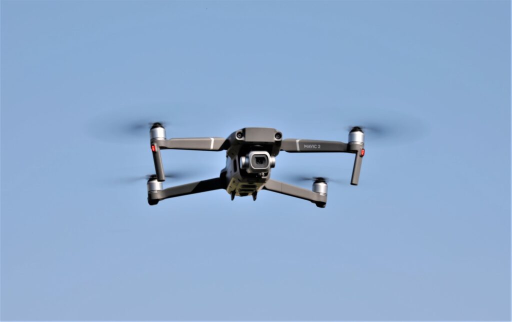
Drones are being used more frequently by surveyors and engineers for terrain assessments, mapping and Surveying. Although photogrammetry for mapping and surveying is not new, drone implementation in this industry has made inspections and mapping much more cost-effective.
The following list contains areas that drones are being used in mapping and surveying:
- Topography
- Contour Elevations
- Alta-surveys
- Volume Measurements
- Site Development
- Progression Monitoring
- Utility Line Measurement
- Railroad Track Measurement
Benefits
There are several benefits to drone usage since they are widely adopted to assist in mapping and surveying.
For centuries, surveyors had to walk to cover the land they surveyed. This could be very demanding and time consuming since the property could cover as much as 200 acres. To find the corners of the property to determine the topography of the land would be difficult enough, but included in that would typically be having to deal with the vegetation that may exist on the property. Imagine the reduction of project time a drone brings to these tasks!
A critical factor during drone use within this industry is accuracy. Because it is one of the most important considerations when using drones in mapping and surveying, finding the tools needed for accuracy is vital.
It is now possible to use traditional photogrammetry in open areas for image collection, which is then processed into measurable data. Light Detection and Ranging (LiDAR) can be utilized in areas containing dense vegetation. When LiDAR was developed in the 1960’s, its systems were too large and expensive for drone use, whereas new technology makes it possible to place it on some of the larger drones. LiDAR drones facilitate land surveying in inclement weather conditions where field crews worked previously. LiDAR can also be used to measure power lines for sag, which is very difficult and time consuming by any other method.
While drones will not replace the need to locate the property corners by hand, they are beneficial because they are much more efficient in many other areas that are very labor intensive and often treacherous for workers.
Several small survey companies are also using commercial UAVs for topographic and contouring work.
Improvements
What has made drones a viable solution for the surveying and mapping industry are improvements in the quality of batteries and cameras. Lighter and more efficient batteries that lengthen flight times make it possible for operators to cover a larger area to justify a specific mission. Surveyors and engineers use photo-grammetry with manned aircraft to collect photographs of the earth to assist in mapping and surveying. With photogrammetrist analyzing and processing the photos manually using a stereoscope, we now have high-resolution cameras that are light enough to be fitted on UAVs and used more easily and efficiently for those same missions.
Caution
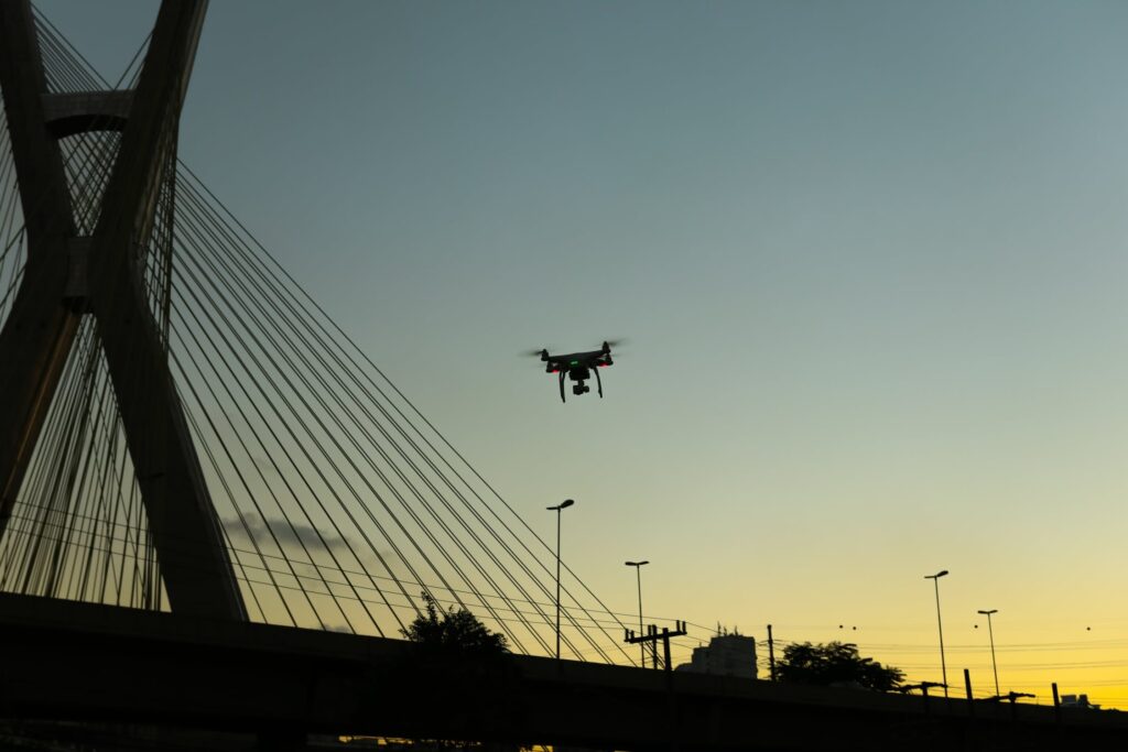
Since it is likely that some projects will be inside controlled airspace while operating a drone in this industry, operating within the FAA guidelines is essential.
If a project requires drone use near bystanders, it is mandatory that bystanders are kept from entering the area while a flight is taking place. Because, in most cases, flights are brief, such closure is a simple process.
Future
Imagine the time and money saved by UAVs in the mapping and surveying industries!
It is estimated that the cost for many of the different kinds of missions carried out by the mapping and surveying sectors is about one tenth or lessof what it costs using the traditional approach. This estimate is based on the expenses, that is, the number of employees and the length of time they are needed.
It is not surprising that across the country, mapping and surveying companies are adopting and using drone technology to increase their business operations and improve overall safety of their workforces.