SimActive Workflow is able to provide volume calculation, which is great for mining, forestry and construction industries.
Workflow management systems (WfMS) are software systems that provide the infrastructure to arrange, track, control, and coordinate the business process.
SimActive introduces new features to improve volumetric calculation, such as Correlator3D™, which now has integrated tools for users to generate precise statistics on mining activities.
SimActive is a world-leading developer of photogrammetry software for drones and manned aircraft. It is the developer of Correlator3D™ software, a patented end-to-end photogrammetry solution for the generation of high-quality geospatial data from satellite and aerial imagery. As a professional tool, it provides the speed and precision that big business expects. SimActive’s Correlator 3D software takes data from any sensor and uses one software interface for processing.
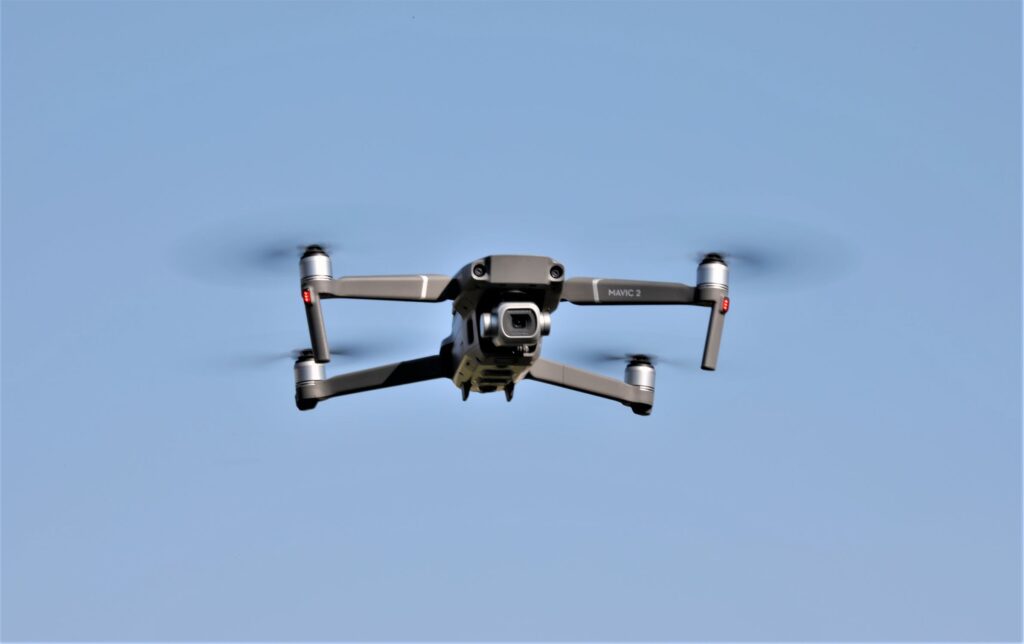
Mining companies have benefited significantly both in significant safety and in lowering their expenses, by having embraced drones. The use of drones also provides an efficient and effective way of monitoring, inspecting, and managing mining sites. By using SimActive’s new toolset, applications, like mineral extraction monitoring, can all be done seamlessly within the software. Those who use this new toolset, can also “process raw drone data, produce point clouds and dense digital surface models (DSMs), and perform volumetric calculations, all in the same Correlator3D™ workflow.”*
Jennifer Waugh, Principal at Alietum Ltd., a Canadian company, uses unmanned technology to support construction, consulting, and government clients. She testified,
“Our clients often require project delivery within 24 hours . . . [using] SimActive enables us to meet this demanding turnaround time.”*
SimActive is the developer of Correlator3D™ software, a patented end-to-end photogrammetry solution for the generation of high-quality geospatial data from satellite and aerial imagery, including UAVs. Correlator3D™ performs aerial triangulation (AT) and produces dense digital surface models (DSM).
Digital terrain models (DTM), point clouds, orthomosaics and vectorized 3D features are all powered by GPU technology and multi-core CPUs, and Correlator3D™ ensures matchless processing speed to support rapid production of large datasets.
SimActive has been selling Correlator3D™ to leading mapping firms and government organizations around the globe and offering cutting-edge photogrammetry software backed by impressive customer support.
Stockpile Measurement
SimActive Inc. also has an enhanced workflow in Correlator3D™, which accelerates stockpile measurement by automatically assessing multiple volumes within the same project and output comprehensive reports.
If the same area is regularly flown, the new workflow also makes it possible to easily compare volumetric values to assess differences in time. In addition, change detection can be performed to precisely quantify variations in topography. Louis Simard, CTO at SimActive explained:
“Facilitating volume calculation reduces the associated costs for our clients. Our new workflow is thus a definite advantage for users in multiple industries, including mining, forestry and construction.”*
Future
New SimActive’s Workflow provides volume calculation that is great for mining, forestry and construction industries, and its recent Correlator3D™, has integrated tools for users to generate precise statistics on mining activities. In addition, it has an enhanced workflow in Correlator3D™, which accelerates stockpile measurement.
Sim Active is an example of what can be accomplished when a company has the vision to aggressively embrace cutting-edge technology.