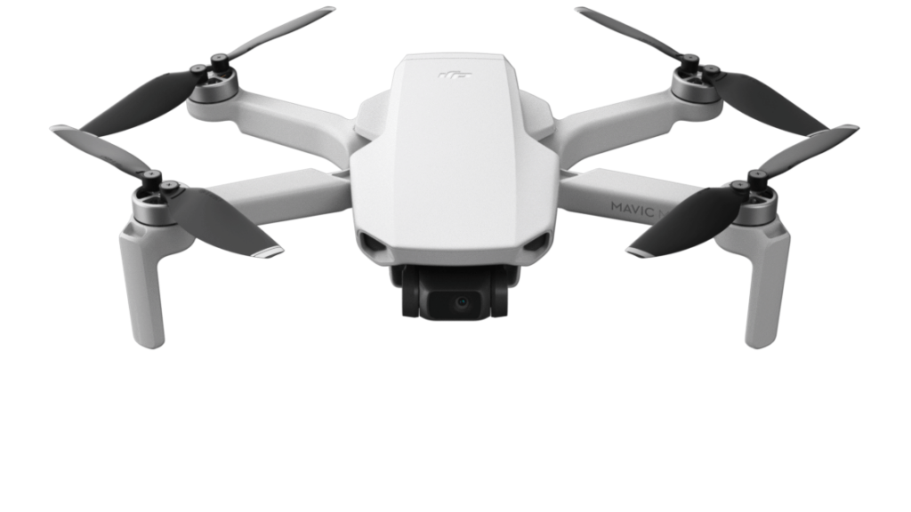
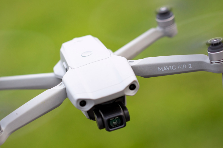
When just a few drones can cause chaos, being able to pinpoint the location of such malicious drone operators would be a great new advancement in technology.
The good news is that academics from the Ben-Gurion University of the Negev (BGU) in Israel have demonstrated a potential means to do just that. By analyzing the flight path of the drone, they have been able to determine the location of a drone operator who may be operating maliciously or harmfully near airports or protected airspace. And they were able to do this, even when the drone was in motion.
Unmanned aerial vehicles (UAVs) pose significant security risks due to their agility, maneuverability, accessibility and low cost. Therefore, there is a growing need to develop methods to be able to detect, localize, and mitigate harmful aircraft operations.
At the Fourth International Symposium on Cyber Security, Cryptography and Machine Learning (CSCML 2020) on July 3, 2020, senior lecturer and drone expert, Dr. Gera Weiss, from BGU’s Department of Computer Science, presented a paper from which lead researcher, Eliyahu Mashhadi, a BGU computer science student, stated:
“Currently, drone operators are located using RF techniques and require sensors around the flight area which can then be triangulated . . . This is challenging due to the amount of other WiFi, Bluetooth and IoT signals in the air that obstruct drone signals.”*
The researchers trained a deep neural network to predict the location of drone operators, by using only the path of the drones, which does not even require additional sensors.
AirSim, an open-source, cross-platform simulator for drones, was used to conduct the tests, by using 10km of roads and realistic obstacles, such as buildings.*
Eliyahu Mashhadi explained:
“Our system can now identify patterns in the drone’s route when the drone is in motion, and use it to locate the drone operator.”*
The model was able to predict the operator location with 78% accuracy, when tested in simulated drone paths. A data set containing 81 flights, formed the basis of the network’s predictive modeling.
The next step in the project will be to repeat this experiment with data captured from real drones.
Dr. Yossi Oren, a senior lecturer in BGU’s Department of Software and Information Systems Engineering, who also contributed to the research, explained further:
“Now that we know we can identify the drone operator location, it would be interesting to explore what additional data can be extracted from this information . . . Possible insights would include the technical experience level and even precise identity of the drone operator.”*
Future
Since it only takes a few, or even one, drone to cause chaos, being able to pinpoint the location of such malicious and harmful drone operators, now makes it safer near airports or protected airspace, thanks to this new advancement in technology by the academics in Israel.


