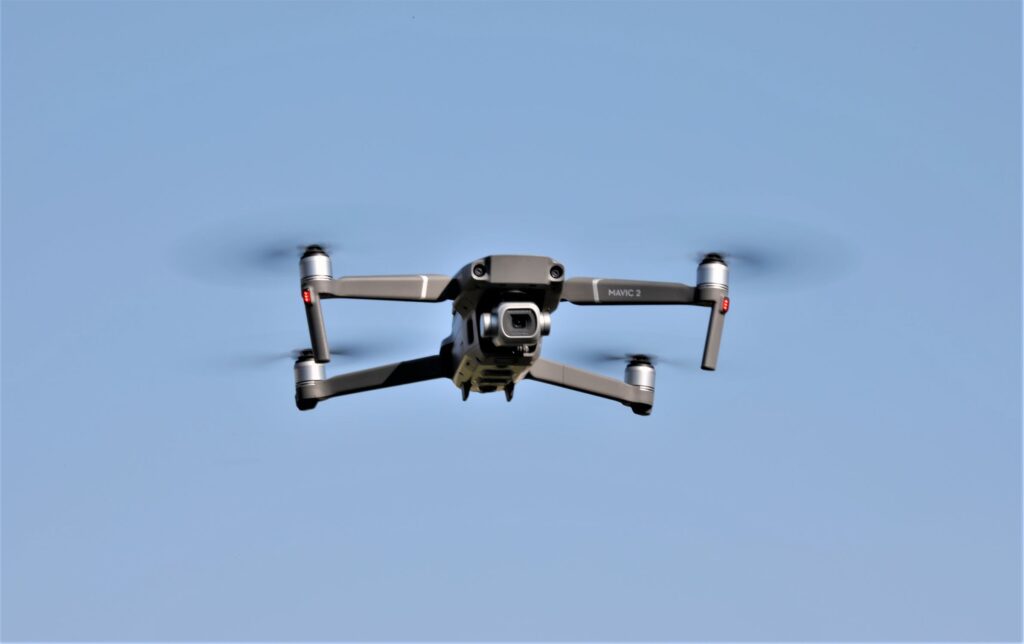
Altitude Angel created “Drone Zone” to support drones and planes where they will share the same sky. The “Drone Zone” will enable automated drones, and general aviation, to harmoniously fly in the same environment.
Altitude Angel is a UK company that works on the safe integration and use of UAVs (drones) into international airspace. The project, named Project Arrow, was put forward to the UK’s Civil Aviation Authority (CAA) as a part of its Innovation Sandbox.
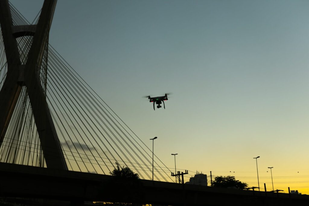
According to plans submitted to the UK’s Civil Aviation Authority, the world’s first commercial drone corridor in open and unrestricted airspace is the Thames Valley to the west of London.
This drone zone will be about 5 miles in length and 0.3 miles wide, with enhanced detect-and-avoid capabilities. It will be operated and managed by Altitude Angel, which will ensure full support for automated drone flights beyond visual line-of-sight (BVLOS) from any drone manufacturer, as long as they comply with a few technical integrations without the need for specialist hardware.
Pop-Up UTM are also available that can be quickly set up when and where required, removing the need for building ground-based infrastructure. It also utilizes Inmarsat’s global network of satellites, which means the system can be deployed around the world.
Drones flying in the zone will be monitored and tracked by Altitude Angel’s GuardianUTM O/S platform, which communicates with ground and aerial infrastructure to provide automated navigation for drones flying within the Zone, along with pre-flight authorizations and automatic separation.
Manned aircraft and other drones that are not participating in the drone zone are tracked and mapped to ensure safe flight distances are maintained. Also, avoidance plans can be created if something goes wrong and the significant difference from other drone zones is that the airspace is open to everyone in the air. This means the drones will be sharing the airspace with other aircraft rather than the area being a temporary danger area (TDA).
The zone will be open to any company which completes the technical integration and contrasts with other drone corridors, which are often closed to organizations not directly involved in their funding, management, or as part of a specific project.
When Altitude Angel’s project is complete, the Arrow Drone Zone technology will be available to any organisation, airport, town or city that wants to establish, and operate, an Arrow Drone Zone.
It is possible to do this rapidly, easily, and cost-effectively through a simple licensing agreement.
Richard Parker, Altitude Angel, CEO and founder, said:
“Project Arrow and Arrow Drone Zones open the door to the next level in the evolution of UTM and automated drone operations. The size of this step cannot be underestimated: BVLOS automated flight in unrestricted airspace is a very significant barrier to overcome in order to realize the vision of mass-commercial drone usage.
Drone technology has the potential to change the world in a myriad of ways, and Altitude Angel will be ready to support organizations and businesses around the globe to enable automated drone flights and manned aviation to operate safely side-by-side through the implementation of Arrow Drone Zones.”*
Future
Altitude Angel’s creation of “Project Arrow” and “Drone Zone” to support drones and planes (where they will share the same sky) moves technology forward to the next level of UTM and automated drone operations as they continue to evolve.
Beyond visual line-of-sight (BVLOS), automated flight in unrestricted airspace breaks another significant barrier to overcome in order to realize the vision of mass-commercial drone usage.