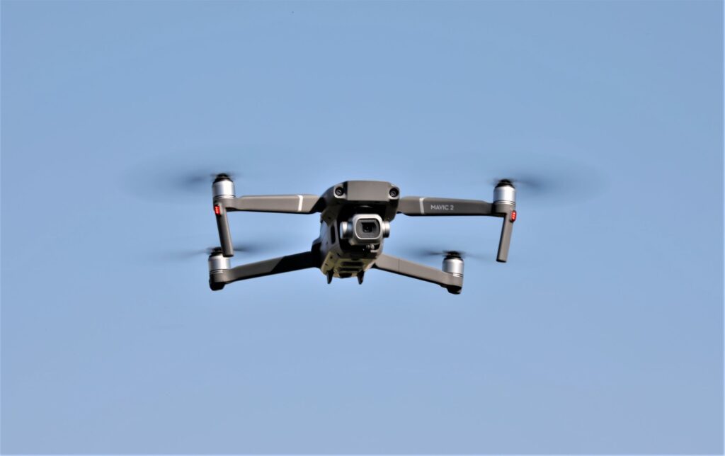
Archaeological Drones: As the days of balloons, kites, helicopters, and crop dusters are coming to a close in various industries and academic sectors, drones are increasingly emerging as their successor.
Traditional platforms using balloons, kites, and helicopters with low‐level remote sensing have given way to new, and more sophisticated, automated systems in which active and passive sensors are specifically designed for drones. This technological advancement has become available in the last decade and has made UAVs much more attractive.
Applications for Archaeological Drones
Archaeologists are looking for the following applications of drone technology:
- Three‐dimensional (3D) documentation of archaeological excavations
- 3D survey of monuments and historic buildings
- Survey of archaeological sites and landscapes
- Exploratory aerial survey
- Archaeological survey of woodland areas John Wiley & Sons, Ltd. (2017)
What is of great interest to archeologists is what role these platforms play in surveying excavations, landscapes, and diagnostics in general.
Most of us probably wonder what drones have to do with archeology. After all, archeologists are digging below the earth, not reaching toward the skies for solutions. Like some others, they have discovered that one of the best ways to find their “treasures” below is by reaching toward the sky above.
In the past, when archaeologists were seeking bird’s-eye-views, they were limited because they needed to access satellite data, which meant they had to strap equipment to kites or balloons or rent crop dusters. These often failed to provide the more detailed views offered by drones and were often expensive. Small drones with a radio-controlled handset, however, cost only around $1,000.
The flying robots have infrared sensors, magnetometers, barometers, GPS, and video cameras mounted to their “bodies” to assist in their work. In locations where people have been prone to loot, archaeologists use their drone video cameras to keep an eye out for vandals. The purpose is not only to protect valuable sites from destruction, but also to create a digital record of historic ruins.
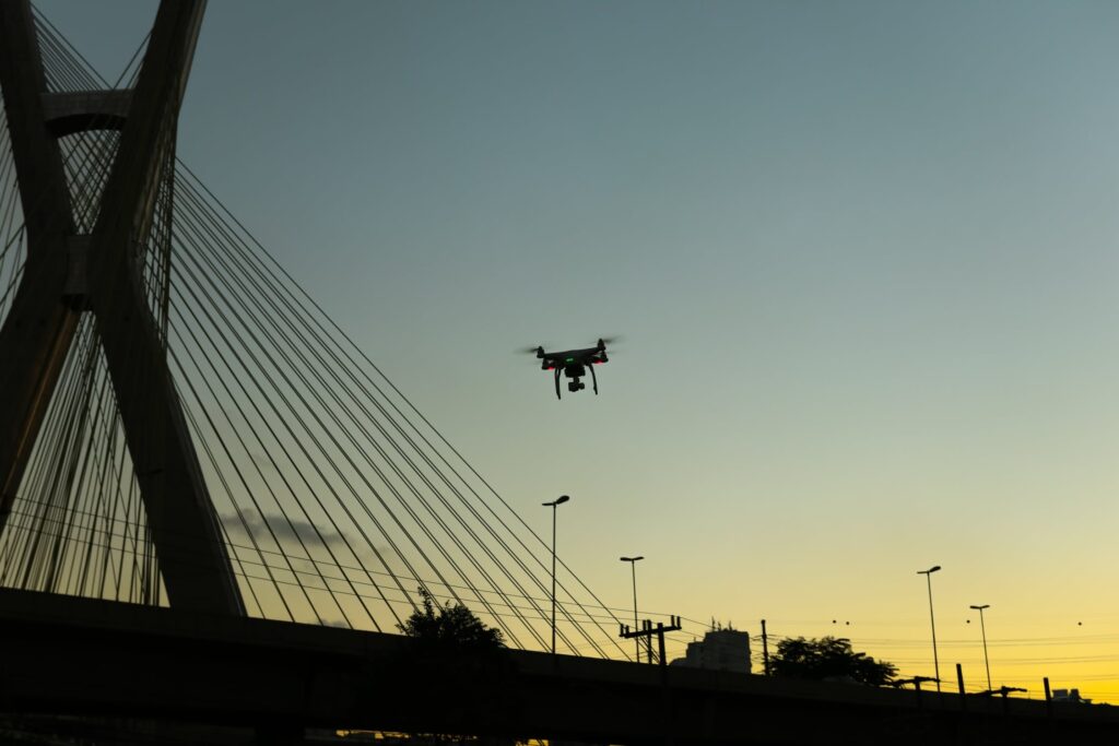
Archaeologists have known, for several decades, the potential that heat-imaging holds in locating cultural remains buried underground because bricks and stone walls retain, and emit, warmth differently than the surrounding soil. The problem was that flights needed to be low-altitude flights in order for aerial thermography to be effective. It is only fairly recently that drone technology met that need with its affordable unmanned, or pilotless, aerial vehicle.
Unmanned aerial vehicles are assisting researchers in creating data that is rich with information and that has three-dimensional maps of archaeological sites. Since drones can hover close to the ground, they can measure topographical changes within an accuracy of half-an-inch. Such a time-consuming task of mapping by hand, which could take months, can now be done in a matter of days. This saves archeologists an incredible amount of time and money.
Drones have simplified what was once very complicated. In fact, some archeologists now use drones on a daily basis for rapid, low-altitude, vertical shots, which they rectify and use for mapping archaeological remains.
Another application of drone technology by archaeologists is exploring remote locations by drones that had been out of reach on foot. This drone technology, however, is a mixed blessing. Just as archeologists now are able to reach such hidden places with drones, so are tomb raiders and antiquities traffickers who are interested in plundering ancient artifacts. By making these remote locations more accessible, the risk increases that they will not be kept intact.
Future
Unmanned aerial vehicles (UAVs) are able to meet a wide range of needs with limited investment.
Archeological drones provide key surveying capabilities and point the way to new excavation sites. UAVs can also provide a wider view of an entire site, which is helpful in identifying possible areas of interest, that is, being able to see things that cannot be seen clearly from the ground.
While drones are impacting archeology in a very beneficial way, they do have some limitations, especially the fact that they usually can last only a maximum of thirty minutes. And the problem with mini-helicopters is that they are unreliable because of engine defects. It is unquestionable that time-in-flight of drones will be extended significantly, and that there will be numerous other improvements..
With the impressive advancement in drone technology in the last decade, we have every reason to expect such progress in this next decade.