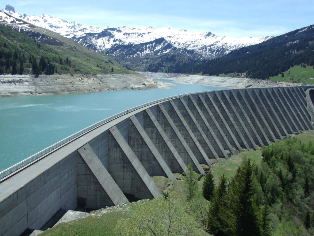
How drones are useful for surveying dams? Dams play a very important role in water resources development and management. Therefore surveying dams is essential to ensure human and environmental health. From irrigation and hydropower to water supply and flood control, both single and multi-purpose dams would collapse and cause catastrophes, such as economic collapse and ecological crises.
In early 2020 the following warnings went out in the U.S.:
- “Midland official gives following update, say river crest 3 feet lower than expected.”
- “Saginaw County officials warn Mistequay Creek dike may break, Tittabawassee River gauge failed.”
- “Flash flood warning issued Wednesday for Tittbawassee River in Midland County.”
- “’Pray for Midland,’ says resident surveying flood damage after dam failure.”
A surveillance camera captured the moment when a 91-year-old dam in Texas collapsed, which officials said caused a nearby lake to drop seven feet.
In the U.S. alone, the State Dam Safety Program reported 173 dam failures and 587 incidents between 2005 and 2013.
The most common causes of dam accidents include:
- Overtopping due to poor design and blockage of spillways
- Foundation instability which can be affected by uneven terrain and earthquakes
- Cracking and piping which can form sinkholes
- Improper construction, operation, and maintenance
- Vandalism or terrorism which can result in failure and flooding
Therefore, vulnerability assessment and monitoring of dams are paramount to prevent catastrophes and ecological crises.
In recent years, dam safety has become the subject of national and international media coverage because of significant incidents at dams. Therefore, inspections of dam facilities have come to the forefront to make sure further incidents do not take place.
According to Trihydro, an engineering and environmental firm based in the U.S., unmanned aerial systems (UAS) or drones, offers “a rapidly-emerging solution to help dam and reservoir owners manage and protect their facilities.”
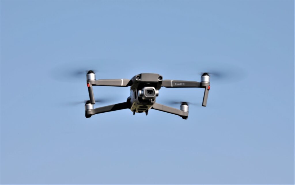
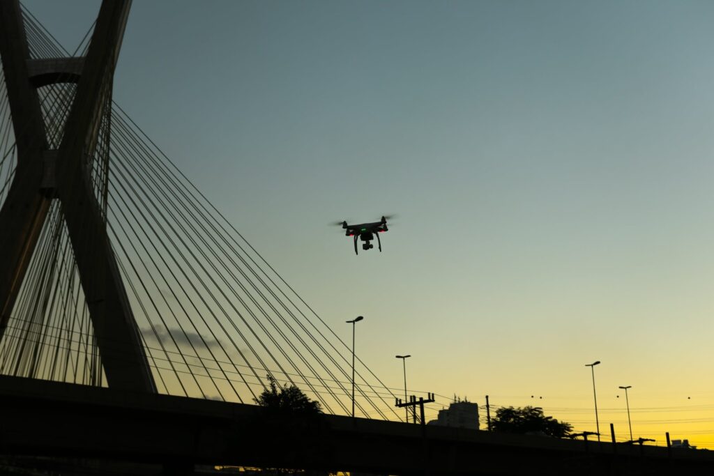
Unmanned aerial vehicles (UAVs) equipped with high-resolution cameras and sensors are ideally suited to provide a fast, efficient, and safe method for inspecting and monitoring dam and levee structures.
ROUVs or ROVs
Drones and Remotely Operated Vehicles (ROVs) have a very important role to play on surveying dams and hydropower plants. Remotely Operated Vehicles (ROVs) are also called Remotely Operated Underwater Vehicles (ROUVs) because they work underwater. More commonly, they are called ROVs. These are tethered robots which make it possible for researchers to make observations, collect samples, and conduct experiments while controlling the vehicle (robot) from the surface. These robots are used by the scientific community to study the ocean and many deep-sea animals and plants are thus discovered through the use of these ROVs.
Advantages of Using ROVs & UAS
An advantage of ROVs is speed since they can capture high-quality imagery and data in a very short period of time. Instead of the traditional methods of the past when it took a day or more to do this kind of work, now the field flight time of ROVs varies from a few minutes to a few hours depending on the size of the facility and data collected.
A drone’s agility or maneuverability are great assets of drones that assist with emergency inspections or are in dangerous or difficult-to-access areas. A multirotor UAS can hover and hold a position while the operator moves the camera to focus on points of interest or zooms to investigate potential areas of concern.
Unmanned Aerial System (UAS) provides a safe method to inspect dams or facilities by keeping the operator at bay from dangerous areas. The data that is collected can be evaluated from a live feed in the operator’s handheld device or after the flight, at a safe distance from the hazardous area.
A submersible or underwater drone is ready to be deployed in a few minutes with minimal training and instead of the laborious methods used in the past with ropes and cranes, UAS requires very few workers and thus saves time and money.
Because UAS can be equipped with multiple sensors, such as high-definition video, thermal-infrared, multispectral, LiDAR, etc., collection of data (e.g., photos, video, and multiple data products) with different sensors provides the operator the ability to evaluate a dam with more than just visual inspection. By utilizing photogrammetry software, overlapping photos can be used to generate 3D point clouds and terrain models for analysis and design.
Doosan’s hydrogen fuel cell drones are composed of a power pack, a miniaturized, lightweight fuel cell system that maximizes mobility by utilizing PEMFC (Proton-exchange membrane fuel cells) technology, and drone frames that use the powerpack as their main power source. This is a tremendous leap forward because it extends the flight time of drones beyond that of battery-type drones, which can fly for only 20 to 30 minutes, to more than two hours.
In underwater inspections, hydropower and dam owners often have the choice of whether to use divers or remotely operated vehicles (ROV). It seems that the ideal is combining the strengths of both divers and underwater ROVs which creates a symbiotic relationship.
The ROV can proactively survey areas where the workers need to dive before sending anyone down. The ROV can check for any potential safety risks and confirm the safety of their mission. In addition, a pre-dive check with an ROV allows operators to determine tasks before deploying a diver so that the ROV can be deployed to identify the area that needs to be worked on before the diver gets into the water. Such pre-dive inspections not only can increases safety and efficiency, but ultimately saves time and money.
Future
Unmanned aerial technology can be utilized in drone surveying dams and 3D modeling. Inspection, assessment, and monitoring of dams are crucial to prevent catastrophes and ecological crises. ROVs and UAVs, with advanced sensor equipment and flexible communication systems, can successfully evaluate and survey dams with their large structures and hard-to-reach areas.