River Erosion/Conservation

Drones Show Damage Done By Floods on Australia’s Coast

Shocking aerial drone footage shows the extent of Australia’s east coast floods. One town is totally transformed by flooding, and houses have been submerged, and parts of cities are no longer accessible. In fact, the flooding has already resulted in over 18,000 people evacuating from their homes, with 30 locations regarded as natural disaster areas …

Drones Show Damage Done By Floods on Australia’s Coast Continue Reading »

Drones Are Mapping An Entire Canadian River

Drones give researchers new perspectives on the St. Lawrence River. They have provided scientists with a variety of new ways to map the river from above. The  St. Lawrence River in Canada has long been an area for researchers and scientists to track the animals to learn more. Drones have now joined in on the …

Drones Are Mapping An Entire Canadian River Continue Reading »

Drones Are Helping Identify River Pollution Hotspot

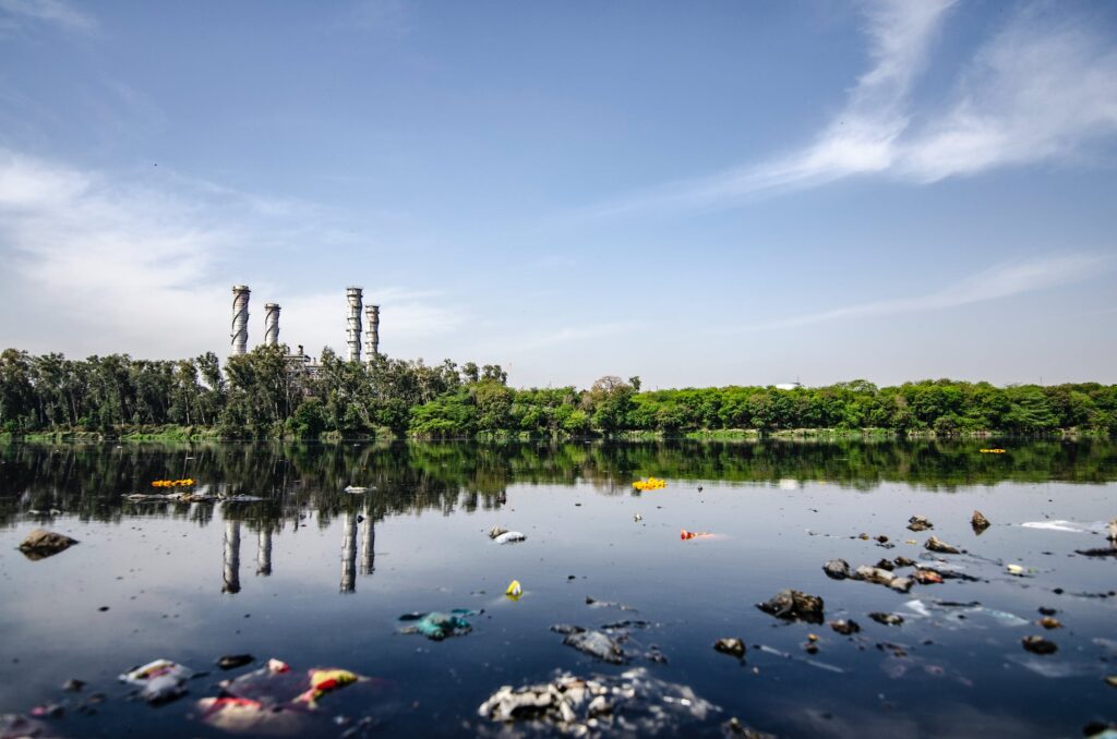
Our love of plastic has led us to have ocean and river pollution, which has reached epidemic levels! Rivers are extremely important because what flows along the rivers eventually ends up in the oceans, now both ocean and river pollution worsen! Scientists are afraid that instead of the plastic waste making its way to landfills, …

Drones Are Helping Identify River Pollution Hotspot Continue Reading »

How Drones Are Used In Coastal Management

Coastal zones contain rich resources to produce goods, is and services and the source of so much of commercial and industrial activities. This is why coastal management needs all the tools available, such as drones, to prevent erosion and flooding, as well as other services. Even though coastal zones occupy less than 15% of the …

How Drones Are Used In Coastal Management Continue Reading »

Scroll to Top